Opening the datasets behind our AI weather models
Google DeepMind releases the open‑source SatWeave satellite mosaic and PARDIG AI‑driven precipitation datasets to accelerate global weather, hydrology, and climate research.
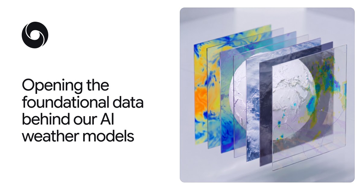
Opening the Datasets Behind Our AI Weather Models
Google DeepMind’s WeatherNext team is making two foundational Earth‑science datasets publicly available: SatWeave, a unified, hourly global mosaic of geostationary satellite imagery, and PARDIG (Precipitation AI Reanalysis: Densely Inferred GPM), an AI‑generated, high‑resolution precipitation product. Both datasets power the newly released WeatherNext 3 model and are now hosted on Google Cloud Storage, with historical archives in Google Earth Engine. The release is intended to lower barriers for researchers, developers, and policymakers who need timely, accurate observations for weather forecasting, flood risk assessment, renewable‑energy planning, and climate studies.
---
SatWeave: A Live, Global View from Space
SatWeave stitches together imagery from five geostationary satellites—GOES‑East, GOES‑West, Meteosat‑0, Meteosat‑Indian Ocean, and Himawari—into a seamless global mosaic covering 17 visible, water‑vapor, and infrared channels. Historically, creating such a product required discarding incompatible sensors or aggregating data at coarse temporal intervals (often six‑hourly). SatWeave overcomes these limitations by:
- Standardising diverse map projections and file formats across the contributing satellites.
- Updating hourly, enabling near‑real‑time monitoring of cloud development, storm evolution, and atmospheric dynamics.
- Providing a decade‑long historical archive (over 10 years) for retrospective analyses and model training.
The hourly cadence is a key differentiator for WeatherNext 3, which can now initialise forecasts with fresh observations rather than relying on six‑hourly analysis cycles. Beyond medium‑range forecasting, the dataset is poised to support applications such as solar‑power output modelling, wildfire detection, and rapid‑response disaster monitoring.
---
PARDIG: AI‑Enhanced Global Precipitation
Accurate precipitation measurement is essential for water‑resource management, agriculture, and flood mitigation, yet ground‑based radar and gauge networks are sparse in many regions. PARDIG addresses this gap by training an AI architecture—mirroring WeatherNext 3—on sparse spaceborne radar observations from NASA’s Global Precipitation Measurement (GPM) mission, while ingesting SatWeave imagery and atmospheric fields from ECMWF.
Key characteristics of PARDIG include:
- 15‑minute temporal resolution and ~10 km spatial resolution.
- Average latency of ~5 hours, delivering near‑real‑time rainfall estimates.
- Historical coverage from 1999 to 2026, enabling long‑term climate trend analysis.
- Demonstrated skill gains over leading global products such as NASA’s IMERG‑Final, with >30 % improvement in detecting light‑to‑moderate rain and superior performance on extreme events.
Because PARDIG learns directly from satellite observations, its accuracy is consistent across all land‑mass and oceanic regions, including data‑poor areas where traditional radar is unavailable.
---
Enabling the Weather and Climate Ecosystem
Both datasets are now openly accessible via Google Cloud Storage, with PARDIG’s historical catalogs also available in Google Earth Engine for seamless integration into existing analysis pipelines. By publishing these resources, DeepMind aims to:
- Accelerate research into next‑generation weather and climate models, especially for underserved regions.
- Facilitate downstream applications such as flood‑early‑warning systems, drought monitoring, and renewable‑energy forecasting.
- Promote reproducibility and collaborative development across academia, industry, and government agencies.
The release is accompanied by developer documentation, sample notebooks, and a research paper detailing the methodology behind PARDIG. Users are encouraged to explore the datasets, contribute improvements, and cite the accompanying paper in any derivative work.
---
Practical Next Steps
- Explore the live feeds on Google Cloud to test real‑time ingestion into your own models.
- Download the historical archives from Earth Engine for training or validation of machine‑learning workflows.
- Review the WeatherNext 3 documentation to understand how SatWeave and PARDIG were integrated into the forecasting pipeline.
- Engage with the community through the DeepMind forums and GitHub repositories to share use‑cases and collaborate on new tools.
By opening SatWeave and PARDIG, DeepMind is providing the building blocks for a more resilient, data‑rich understanding of Earth’s weather and water cycles—empowering scientists and developers worldwide to turn observation into actionable insight.
Source
Read original sourceWhy we picked this
Release of datasets for AI weather models is core AI infrastructure.